
New Releases Out Now
This week's releases include Kings of Leon, Arab Strap, Dehd and mxmtoon.

Kings of Leon Out Now
Can We Please Have Fun is out now on LP, CD and Red Vinyl.
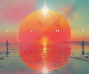
Pre-Order Imagine Dragons
LOOM will be out June 28 on Translucent Curacao BlueLP, Translucent Coke Bottle Green LP, and CD.


What's New
View All


Live at Amoeba
View All

WILLOW
May 14th 5pm - Hollywood
Combo
May 14th 5pm - San Francisco
Miko Marks
May 19th 3pm - San Francisco
Wallows LP Signing - SOLD OUT!
May 28th 4pm - Hollywood
Music We Like
Great Deals on Handpicked Titles!
View More
View All


What's In My Bag?
View All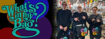
Essential Albums

Amoeba Podcast
Every Thursday on EarWax, two longtime record store clerks share the stories behind the albums we love. Hilary and Cody also chat about new releases and in-store events, so you can stay up to date with Amoeba.
Gift Certificates

Give the music or movie lover in your life a gift certificate for our stores or an online gift code.