
15% off Amoeba.com
15% off everything on Amoeba.com with promo code APR15. Discount valid April 16-17.
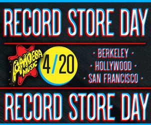
Record Store Day 2024 Events
Visit our stores for limited edition RSD releases, special sales, goodie bags & more April 20.

Eagles Contest
Enter to win the new Eagles career-spanning collection on 6LP + a VOX Pathfinder 10 amp.


What's New
View All


Live at Amoeba
View All

Ringo Starr LISTENING EVENT + 7" RELEASE!
April 18th 11am - Hollywood
deadmau5 Signing
April 25th 12pm - Hollywood
San Fermin
May 4th 3pm - San Francisco
Music We Like
Great Deals on Handpicked Titles!


What's In My Bag?
View All
Indie Exclusives

Check out our Indie Exclusive section on Amoeba.com! It's chock full of vinyl and CDs only available to independent record stores. You'll find limited edition colored vinyl, signed CDs, and alternative artwork. Oh, the joys of being independent.
Amoeba Podcast
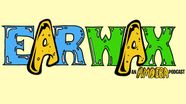
Every Thursday on EarWax, two longtime record store clerks share the stories behind the albums we love. Hilary and Cody also chat about new releases and in-store events, so you can stay up to date with Amoeba.
Gift Certificates
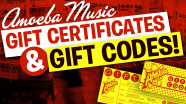
Give the music or movie lover in your life a gift certificate for our stores or an online gift code.